Scientists are tracking an El Niño-linked Kelvin wave expected to reach the California coast in October, with the ocean phenomenon potentially raising Bay Area sea levels by 6 to 12 inches. The temporary increase could affect coastal conditions across low-lying parts of the region, particularly when elevated water levels coincide with high tides or other coastal hazards.
Key Takeaways
- An El Niño-linked Kelvin wave is expected to reach the California coast in October.
- Scientists estimate the phenomenon could raise Bay Area sea levels by about 6 to 12 inches.
- Kelvin waves are large-scale pulses of ocean energy that can move along the Pacific coast.
- The potential rise is a temporary ocean-level effect rather than a measurement of long-term sea-level rise.
- Low-lying Bay Area areas could face greater exposure to flooding when elevated water levels coincide with high tides or other coastal hazards.
El Niño-Linked Kelvin Wave Moves Toward California
A Kelvin wave associated with El Niño conditions is expected to reach the California coast by October, according to scientists tracking the ocean phenomenon. The wave could raise Bay Area sea levels by approximately 6 to 12 inches as it moves north along the Pacific coast.
The phenomenon is different from the waves that break along beaches. A Kelvin wave is a large-scale pulse of ocean energy that travels across the Pacific and can produce an elevated sea state along the coast.
The expected arrival in California has drawn attention because the additional ocean height could increase exposure to coastal flooding in low-lying parts of the Bay Area. The potential effect is tied to the movement of the Kelvin wave rather than to a large wave physically arriving at the shoreline.
The Kelvin wave is linked to broader Pacific Ocean conditions associated with El Niño. A previous report on California’s El Niño forecast described the climate pattern’s potential effects on the state’s winter conditions, including rainfall and flooding.
Scientists describe the process as an ocean-level signal that travels along the coast. The wave does not transport a large mass of water from one location to another. Instead, it carries an elevated sea-level signal that can affect coastal water levels as it progresses north.
The expected arrival also gives coastal communities a specific period to monitor conditions. Scientists expect the wave to reach California in October, with the Bay Area among the areas that could experience the resulting increase in water levels.
Bay Area Sea Levels Could Increase by Up to a Foot
The projected increase in Bay Area sea levels is estimated at 6 to 12 inches. That range represents the potential additional rise associated with the Kelvin wave as it reaches the region.
An increase of several inches can affect coastal conditions even though the change would not appear as a visible wave moving toward the beach. The Kelvin wave operates on a much larger scale, producing a gradual change in the level of the ocean along the coast.
The potential rise is particularly relevant to low-lying communities near the Bay. Higher background water levels can reduce the amount of vertical space between normal water levels and areas vulnerable to flooding.
The effect also depends on other coastal conditions. Elevated water levels can create greater flooding concerns when they occur at the same time as high tides, storm surge or winter storms.
That combination makes the timing of the Kelvin wave relevant to coastal monitoring. The wave itself is not expected to resemble a tsunami or a conventional breaking wave. Its effect is instead measured through changes in coastal water levels.
The projected 6- to 12-inch increase should also be distinguished from long-term sea-level rise. The Kelvin wave represents a temporary ocean-level effect associated with ocean conditions and El Niño, rather than a new measurement of the underlying long-term rate of sea-level change.
Pacific Ocean Conditions Drive the Temporary Rise
Kelvin waves linked to El Niño can form when trade winds weaken in the western equatorial Pacific. That change allows warm water accumulated in the region to move back toward South America.
The movement of that warm water generates a large-scale ocean signal. After reaching South America, the energy can continue north along the coastline and influence sea levels along the U.S. West Coast.
The process explains why an ocean phenomenon that begins thousands of miles away can eventually affect California coastal conditions. The wave carries energy and a change in sea state along the coast rather than transporting a large volume of water directly into the Bay Area.
The Kelvin wave’s movement is therefore connected to conditions across the Pacific. El Niño provides the broader ocean and atmospheric conditions that allow the phenomenon to develop and move toward the California coastline.
California’s water conditions have also been the subject of recent research, including a recent California groundwater study. That research concerns groundwater rather than coastal water levels, but it provides separate evidence of scientists examining how environmental conditions affect California’s water resources.
The expected California arrival in October places the Bay Area within the projected path of the coastal signal. Scientists are monitoring the wave because its arrival could add several inches to already changing coastal water levels.
The temporary nature of the effect remains an important distinction. The projected increase does not mean the Bay Area’s permanent sea level will suddenly rise by 6 to 12 inches. Instead, the Kelvin wave can temporarily elevate water levels as the ocean signal moves along the coast.
Low-Lying Bay Area Areas Face Elevated Coastal Exposure
Low-lying coastal communities face the most direct concern from a temporary increase in sea level. Higher water levels can leave less room between the ocean and locations that are vulnerable to flooding.
The potential effects become more relevant when the elevated sea level overlaps with other coastal hazards. High tides can raise the baseline water level, while storm surge and winter storms can add additional water and wave energy.
Recent California coastal reporting has also examined conditions that can produce coastal flooding and high surf, illustrating how elevated water levels and ocean conditions can affect shoreline areas in different circumstances.
The Kelvin wave therefore does not need to produce severe conditions by itself to affect coastal exposure. The 6- to 12-inch increase can change the starting level against which other coastal events occur.
Bay Area communities with roads, infrastructure and developed areas near the shoreline can be particularly sensitive to changes in coastal water levels. Low-lying locations have less elevation separating them from the Bay, making changes in water height more consequential.
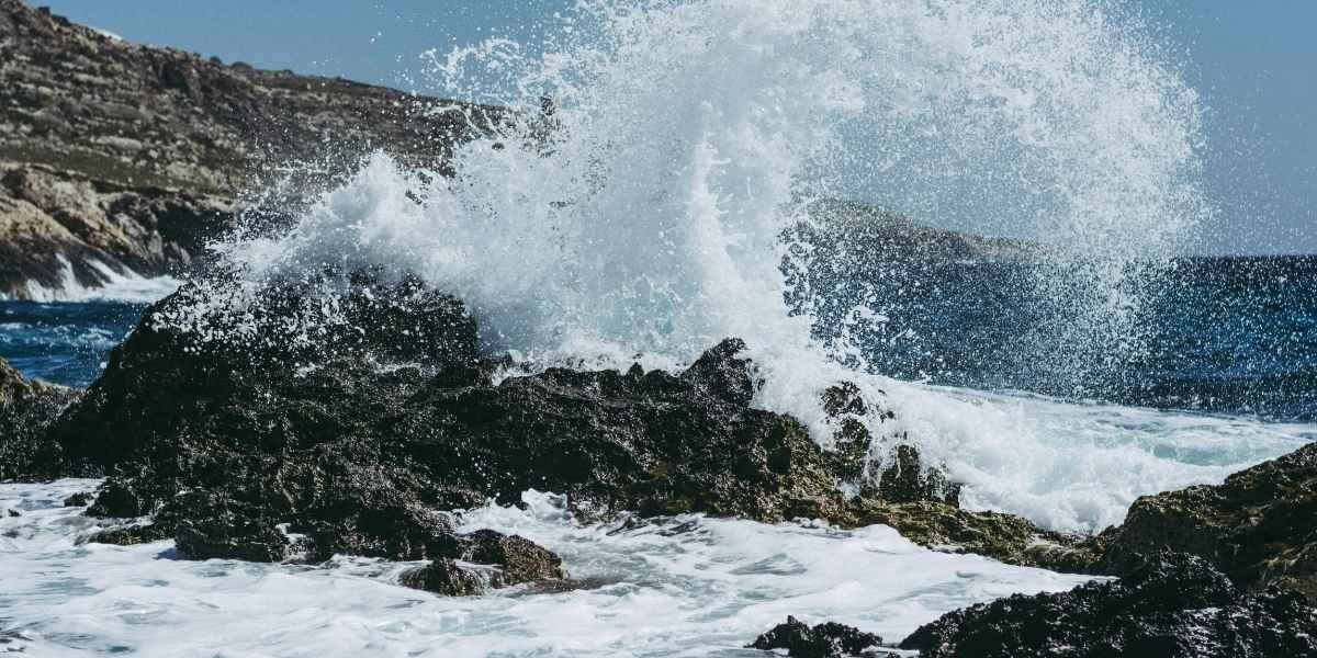
The expected increase also differs from the immediate effects of a conventional ocean wave. A breaking wave can produce a visible and short-lived impact at the shoreline, while a Kelvin wave produces a broader change in the underlying sea state.
For residents and businesses in vulnerable coastal areas, the relevant issue is therefore the height of the water relative to the surrounding shoreline and infrastructure. The potential for flooding depends on the combination of the elevated background level and other coastal conditions occurring at the same time.
The projected conditions provide a basis for monitoring coastal water levels as the Kelvin wave approaches California. The October timing gives scientists and coastal communities a defined period in which to watch for changes associated with the approaching ocean signal.
October Arrival Provides a Focus for Coastal Monitoring
Scientists expect the Kelvin wave to reach the California coast by October, making the coming weeks a period of observation for coastal conditions. The Bay Area could experience a temporary sea-level increase of 6 to 12 inches as the wave moves north along the coast.
The expected change is measurable even though the phenomenon may not be apparent to people standing at the shoreline. Its primary effect is an elevated sea state rather than a large breaking wave.
Monitoring will be particularly relevant in low-lying coastal areas, where even a temporary increase in water levels can reduce the margin between normal conditions and flooding. The potential effects are also dependent on whether higher water levels coincide with high tides, storm surge or winter storms.
The Kelvin wave is linked to El Niño conditions in the Pacific. Weakening trade winds allow warm water to move eastward, generating an ocean signal that can continue north along the coastline after reaching South America.
That process connects Pacific Ocean conditions with coastal water levels in California. The Bay Area is one of the regions along the U.S. West Coast that could experience the signal’s effects as it progresses north.
The projected increase should be understood as temporary. The Kelvin wave can raise coastal water levels while it passes through the region, but the change is distinct from long-term sea-level rise.
The October arrival will therefore provide a period for scientists and coastal communities to track the interaction between the Kelvin wave and local coastal conditions. The principal measurable concern is the additional 6 to 12 inches of water height and the reduced margin that can result in low-lying areas when other coastal hazards occur.
Frequently Asked Questions
How much could Bay Area sea levels rise from the Kelvin wave?
Scientists estimate that the Kelvin wave could raise Bay Area sea levels by approximately 6 to 12 inches. The increase is associated with the elevated sea state carried by the coastal Kelvin wave.
When is the El Niño-linked Kelvin wave expected to reach California?
The Kelvin wave is expected to reach the California coast in October. The Bay Area is among the California coastal areas expected to be affected as the wave moves north.
What is an El Niño-linked Kelvin wave?
A Kelvin wave is a large-scale pulse of ocean energy that travels across the Pacific and along coastlines. El Niño conditions can contribute to its formation by weakening trade winds and allowing warm water to move eastward.
Which Bay Area areas could be affected by higher sea levels?
Low-lying coastal communities are the areas most directly exposed to higher water levels. Flooding concerns can increase when elevated sea levels coincide with high tides, storm surge or winter storms.
Is the expected increase in Bay Area sea levels temporary?
Yes. The projected 6- to 12-inch increase is a temporary ocean-level effect associated with the Kelvin wave. It is distinct from long-term sea-level rise.