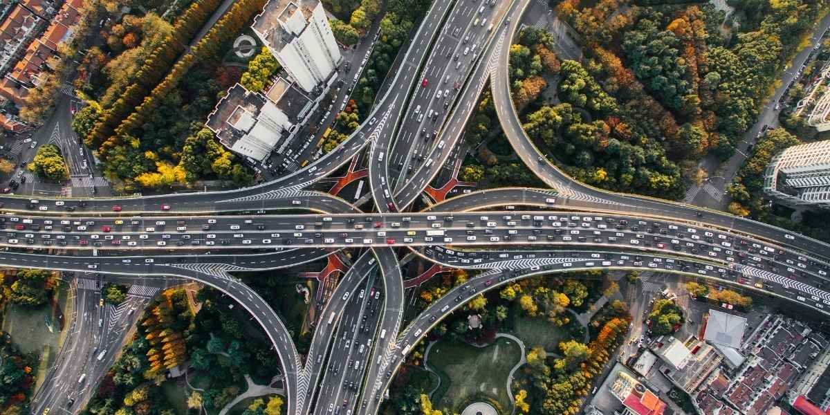
Smart Freeway technology is now operating on northbound I-15 in Temecula, giving California its first test of a traffic management system built to improve vehicle flow on one of Southwest Riverside County’s busiest commuter routes.
The Riverside County Transportation Commission launched the I-15 Smart Freeway Pilot Project along an eight-mile section from the Riverside and San Diego county line in Temecula to the I-15 and I-215 interchange in Murrieta. The route serves local drivers, commuters, visitors, freight movement, and cross-county traffic between Riverside County and San Diego County.
The project uses roadway sensors, coordinated ramp meters, and electronic speed guidance to manage how vehicles enter and move along the freeway. Officials have described the pilot as a way to study whether traffic can move more steadily through a congested corridor without adding a new general-purpose lane.
Smart Freeway Launch Targets A Known I-15 Bottleneck
The Smart Freeway pilot focuses on a northbound I-15 segment where congestion can build quickly near Temecula and Murrieta. The corridor is a key link for drivers leaving San Diego County and entering Riverside County, especially during afternoon and weekend travel periods.
I-15 connects homes, schools, medical offices, job centers, shopping areas, and tourism corridors across Southwest Riverside County. A delay near one merge point can spread across several miles when traffic volumes rise.
RCTC developed the project with Caltrans, the City of Temecula, and regional transportation partners. The project was built as a pilot, meaning agencies are expected to study its performance before considering wider use in other corridors.
The system’s purpose is traffic reliability. Rather than sending vehicles onto the freeway at a fixed pace, the technology adjusts ramp meter timing based on current conditions.
How Smart Freeway Tools Control Traffic Flow
The Smart Freeway system collects traffic information from equipment placed along the route. That data helps coordinate ramp meters at northbound access points, including Temecula Parkway, Rancho California Road, and Winchester Road.
Ramp meters remain one of the most visible parts of the pilot. Drivers entering the freeway may see meters change their timing as the system reacts to traffic volume and speed. When the freeway is crowded, the system may hold vehicles at ramps longer to space out merging traffic.
The project also uses electronic advisory speed signs. Those signs can show recommended speeds based on current conditions ahead. The goal is to give drivers more notice before they reach slower traffic.
RCTC has said the project uses traffic data and algorithms rather than artificial intelligence. The system is designed around traffic operations, roadway equipment, and signal timing.
The pilot cost has been reported at $33 million. Agencies plan to review the project during a two-year operating period to measure how the system performs during commute periods, incidents, and heavier travel days.
Why Temecula Became California’s Test Site
Temecula sits at a transportation pressure point. The city is close to the Riverside and San Diego county line, with daily traffic moving between Inland Empire neighborhoods and job centers across Southern California. Nearby Murrieta adds more residential and commuter demand to the same freeway corridor.
The I-15 section selected for the Smart Freeway pilot is shaped by local and regional movement. Commuters use it for work trips. Families use it for school, shopping, and health care access. Visitors use it for wineries, hotels, restaurants, and weekend travel.
A crash, stalled vehicle, heavy ramp volume, or sudden lane slowdown can affect movement far beyond the original problem area. That makes the corridor a practical test site for digital traffic management tools.
For California transportation planners, Temecula offers a useful study environment. The corridor has recurring congestion, regional growth, and a mix of commuter and visitor traffic.
What I-15 Drivers May Notice
Drivers may notice the Smart Freeway pilot most clearly at ramps and overhead signs. Some motorists entering northbound I-15 could face a longer ramp wait when the system slows entries to protect mainline traffic flow.
That tradeoff is central to the project. A controlled ramp delay may be used to reduce a larger freeway slowdown if vehicles merge in a more measured pattern. The pilot period gives officials time to study whether that approach improves travel-time reliability for the corridor.
Motorists may also see advisory speed messages that change with traffic conditions. These messages are intended to help drivers adjust earlier before reaching congestion. The signs are advisory, so safe driving still depends on traffic, weather, visibility, vehicle spacing, and driver behavior.
The Smart Freeway system does not remove common causes of congestion. Crashes, lane closures, construction work, weather, and high travel demand can still slow the route. The project gives agencies another tool to manage traffic once those conditions begin affecting the corridor.
Smart Freeway Pilot Adds New California Infrastructure Test
The Temecula launch places Riverside County at the center of a statewide traffic study. California has long faced pressure to improve freeway movement while balancing space limits, construction costs, environmental review, and changing travel patterns.
For local businesses, a steadier I-15 corridor could help with worker commutes, customer access, deliveries, and service calls. For residents, even small changes in freeway reliability may affect daily schedules across the Temecula and Murrieta area.
The two-year pilot gives agencies time to compare real traffic conditions before and after launch. That review may include travel speeds, ramp delays, incident effects, and driver response to advisory signs.